Responsible, Smart Growth On The Cainhoy Peninsula

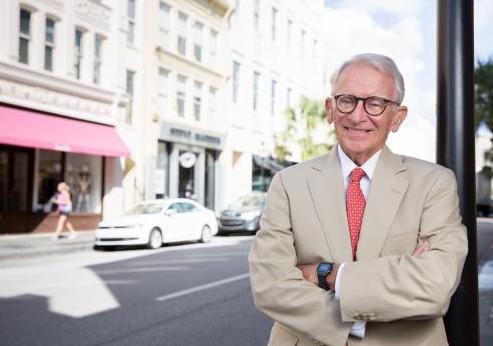
By Joseph P. Riley, Jr., former Mayor of the City of Charleston
NOTE: This commentary was published in The Post & Courier (10/30/22) and The Daniel Island News (11/16/22).
Reports of recent, unfortunate litigation compel me to address the facts regarding planned development on the Cainhoy Peninsula.
As mayor of the City of Charleston for 40 years, I considered one of my most important duties to be planning for responsible growth to ensure that the city would flourish long beyond my tenure. A vibrant, economically thriving city requires opportunities for expansion, but Charleston’s unique geography and historical context demand careful and deliberate planning to maintain a sustainable balance between growth and environmental sensitivity. To address this priority, we established the city’s Urban Growth Boundary and created a comprehensive City Plan that, by state law, is revised every 10 years from the collective feedback of all stakeholders, including neighbors and conservationists.
In 1991, prior to the opening of the Mark Clark Expressway, I approached the landowners of what was then the farm fields of Daniel Island for annexation into the city as a logical location for expansion. They acquiesced and after 30 years of visionary planning and development in partnership with the city, Daniel Island has become an award-winning, often emulated national model for thoughtful community growth. The community’s master plan provides for connectivity of roads, stormwater systems, neighborhoods, parks and trails, all culminating in a vibrant, self-sustaining extension of the city.
These landowners then permitted their Cainhoy family property to be annexed into the city in 1996 and encompassed within the city’s Urban Growth Boundary. They also complied with land requests from the Berkeley County School District that led to the excellent Philip Simmons K-12 schools as well as road and power infrastructure providers to help accommodate the needs of our growing metro area. These landowners are people of integrity who have been thoughtful stewards of the land for decades. They have followed the wishes of the city and recognize the inevitable growth needs and infrastructure investments happening on the Cainhoy peninsula.
They have approached the planning of their Cainhoy property with the same high standards and goal of excellence as they did for Daniel Island. Considerable time was invested in working with citizens to determine ways in which to balance growth. Among the areas of concern for residents in the Wando, Huger and Jack Primus communities were the need for businesses, services and jobs, a variety of housing opportunities, and sensitivity to the history of the area and the adjacent Francis Marion Forest. As planning for this corridor began, these concerns were central to discussions that took place between the city, a talented team of visionary planners and the landowners.
The owners were then requested by regulating agencies to plan the entire 9,000 acres at once, which is an extremely costly and time-consuming process. They concurred and the Army Corps of Engineers, biologists, archaeologists, planners and engineers have spent the better part of a decade establishing the framework for a responsibly planned community that serves the needs of our region. They’ve provided for interconnectivity of road systems and stormwater management. Wetland impacts have been minimized and are primarily for road crossings and other efficiencies. They’ve carefully preserved wildlife corridors in a healthful balance with the needs for schools, healthcare, retail, recreational public access and housing.
Multiple environmental groups were active participants in the creation of this plan for Cainhoy’s development. At the request of the South Carolina Coastal Conservation League, the landowners generously placed miles of valuable Cainhoy Road frontage in conservation for a buffer to serve as a gateway to the national forest. They also worked with numerous conservation groups to establish an innovative on-site wetlands impact mitigation plan rather than purchasing mitigation credits elsewhere in the region. The landowners’ decision to place 650 acres of valuable highland and natural areas into perpetual conservation as a nature sanctuary clearly demonstrates their dedication to this vision and should be celebrated. This will constitute the largest conservation easement ever in the City of Charleston.
We should not expect the growth of the Charleston region to subside anytime soon. Yet, when landowners take the time to work closely with all stakeholders and plan with conservation, resiliency and sustainability solutions at the heart of their development, they should be encouraged and not prevented by an ill-considered legal battle.