
Development Facts
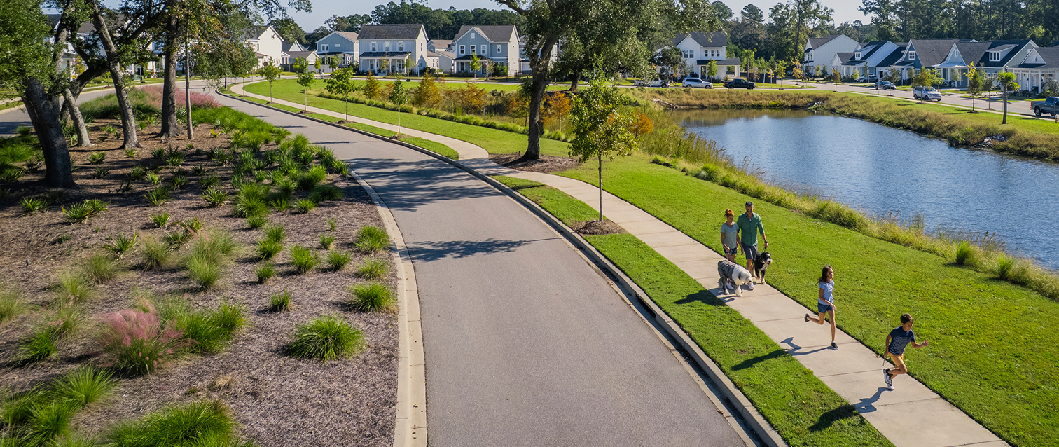
Conservation-first Planning

as wetlands, marsh, green space, parks & trails

under a conservation easement— the largest in City history.

4,530 acres of marsh and wetlands preserved under federal permitting.

to balance the needs of nature and community.

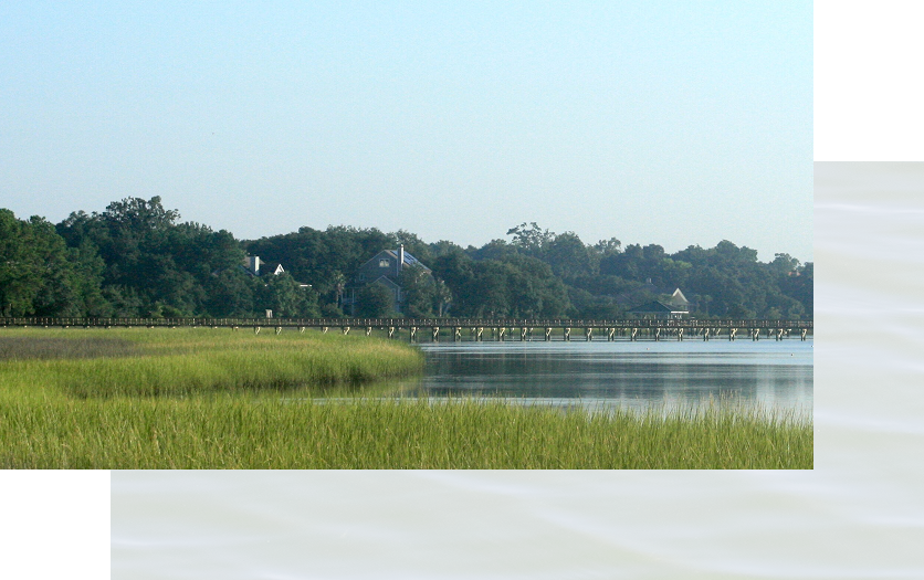
Wetlands & Marsh
Conservation
The plan prioritizes long-term conservation, preserving 96% of wetlands, including a 650-acre Nature Sanctuary under a conservation easement. Most impact is limited primarily to small, isolated areas such as former logging road crossings. The Army Corps found that for every acre impacted, approximately 13 acres will be protected or enhanced, describing the mitigation plan as “one of a kind.”

Floodplain & Resiliency
Development within FEMA’s 100-year floodplain is common across coastal Charleston, and at Point Hope, thoughtful planning and natural systems work together to support long-term resilience. • More than 80% of developable land is outside the floodplain. • Enhanced construction standards required for homes • Strong natural resilience, supported by an extensive wetland system and multiple tidal outfalls


Wildlife Protection
Careful study and coordination have helped ensure minimal impact on wildlife.
- No endangered species documented on the property
- Red-cockaded woodpeckers were removed from the endangered species list in 2024; Cainhoy assisted with successful relocation of birds to the ACE Basin.
- No presence of Northern Long-Eared Bats, as confirmed by federal review
Traffic & Infrastructure
A coordinated, long-term approach to traffic and infrastructure planning is helping support growth while maintaining connectivity across the area.
- Traffic impacts studied since 2014, with updates planned every 3–5 years
- Regional traffic study commissioned in 2017 by Berkeley County, SCDOT and the City addressed long-term Cainhoy growth
- Clements Ferry Road widening accounted for future development
- 10+ acres of commercial frontage donated to support Clements Ferry Road widening
- Parallel roads and interconnectivity designed to reduce traffic on Clements Ferry Road
- Ongoing coordination with the City to identify future fire station and park sites
Comprehensive
Master Plan
The Point Hope plan reflects more than two decades of environmental review, infrastructure planning, and coordination with government agencies.


Federal Permit Status
After eight years of environmental study and agency review, the U.S. Army Corps of Engineers issued a Section 404 permit in May 2022. While subsequently challenged in federal court, the permit was upheld in full by the U.S. District Court in May 2025 through summary judgment. The case is now on appeal before the Fourth Circuit Court of Appeals on a narrow issue related to wetland analysis, and does not impact ongoing development.
Archaeology & Preservation
Brockington & Associates leads archaeological research in coordination with the State Historic Preservation Office (SHPO), conducting studies ahead of development to identify sites for preservation or data recovery. This commitment to stewardship extends to the restoration of an 1850s farmhouse, now preserved and dedicated as a community resource.
Positive Impacts for the Community
Point Hope strengthens the broader Charleston region through strategic investments in education, jobs, services, and infrastructure.


Currently working with the City on future fire/EMS and City Park sites

Contributed land adjacent to the Francis Marion National Forest

At build-out, the community is projected to generate millions more in annual tax revenue than it will require in government services

Right-of-way contributions supporting the Clements Ferry Road widening and undergrounding of transmission lines

Supporting a more economically diverse and resilient community by requiring a 10% attainable housing set-aside for multi-family residences
Point Hope is a carefully conceived, federally permitted, environmentally sensitive master-planned community that preserves the vast majority of wetlands while responsibly accommodating future growth.
The community will be developed over the course of decades, with phased infrastructure and a smart-growth plan designed to create long-term sustainability.